Setting and Historical Context
Beginning in the 6th millennium BCE, small isolated, self-sufficent villages spread out across the Tigris-Euphrates floodplain. Archaeological evidence for these sites is minimal, often based on field scatters of artifacts associated with the Ubaid culture, especially its painted pottery tradition.

Map of the Middle East
 Ubaid settlements were located in and around estuarine marshes or along the coast of the Gulf. Their inhabitants ate a diet that reflected these surroundings, rich in fish, birds, mollusks, and water-loving cereals. Shark and other pelagic fish were dedicated at their temples. Clay model boats adorned their altars to ensure a successful voyage.
As the sea withdrew farther south, the Tigris and Euphrates rivers–what would now become the lifeblood of ancient Sumer–took on more regular courses. This period is termed Uruk after the site of the same name, in Muthanna Governorate, which grew to over 250 hectares in size to mark the Urban Revolution.

Plan of the sacred precincts at the site of Uruk/Warka around 3000 BCE. After Roaf, Cultural Atlas of Mesopotamia 1990:60 redrawn by Ardeth Anderson.
 Irrigation agriculture expanded to feed burgeoning populations, and advances were made in art, the working of metal and stone, and ceramic. Villages and towns became economically integrated, a whole greater than the sum of its parts. Perhaps the greatest innovation, toward the end of the 4th-millennium BCE, was the invention of writing.
Left: Stone tablet from Tello (ancient Girsu) ca 2800 BCE Penn Museum B10000.
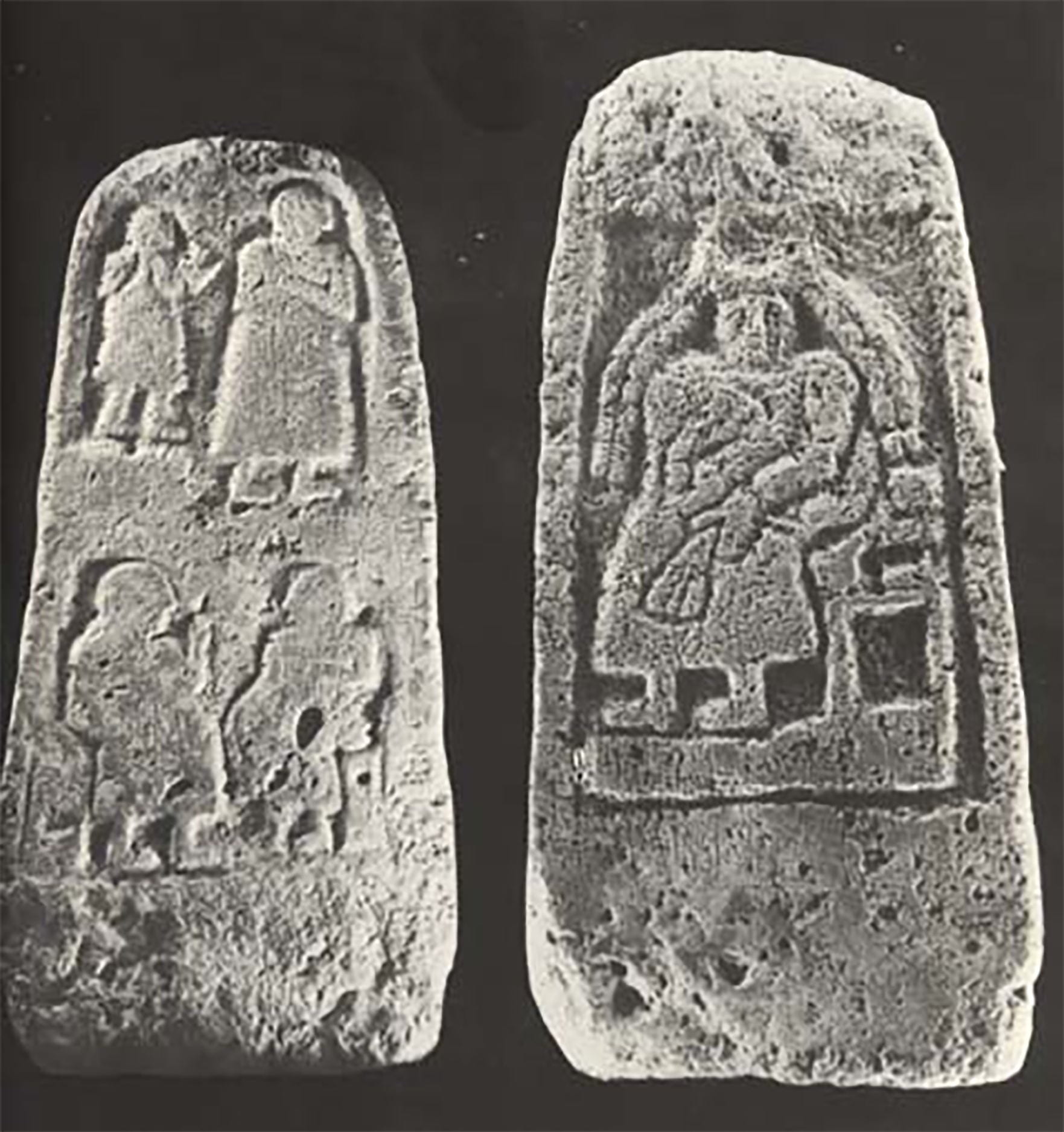 At the end of the Uruk period, the environment would shift once more. Sea level both rose and fell. Smaller settlements were replaced by new cities that developed alongside rivers amidst irrigable farmland, some forming coalitions, others actual city-states. Among the latter was the site of Lagash, modern Tell al-Hiba, which–along with Girsu, modern Telloh, and Niĝin, modern Tell Zurghul–formed the larger city-state of Lagash. At about 600 hectares, the city of Lagash became one of the most sizable cities in southern Mesopotamia. The emerging institution of dynastic kingship has led scholars to call this time in history the Early Dynastic period. Right: Stele of Ur-Nanshe with goddess Nisaba, ruler of Lagash, from al Hiba. Iraq Museum.
The primary settlements of the Lagash city-state were situated in the heart of the Mesopotamian delta and connected by the Going-to-Niĝin Canal, a watercourse that served as a transportation and ritual route. Texts suggest that the region consisted of a fertile countryside with multiple ecological zones, including agricultural fields, steppe for pasture, wetlands, and sea; some texts even suggest that communities organized along tribal lines distinguished themselves from one another by ecological specialization.
From about 2500 on, the fertile lands to the east of Lagash were contested and battles were fought that are memorialized through such monuments as the Stele of the Vultures. This stele, found at Girsu records in both text and image the battle between Ennatum and the king of Umma over the lands in the fertile fields of Gueiden.

Fragment of the upper part of the obvserse of the Stele of the Vultures Eannatum king of Lagash ca. 2400 BCE. Tello, ancient Girsu. Louvre Museum AO 16.
Previous excavations uncovered texts that link major religious and administrative complexes to known rulers and their temples. The recovery of administrative artifacts from stratified deposits, including seals and sealings, as well as residential architecture and craft production from survey, reflect a diverse urban population engaged in intense regional and interregional interaction, comparable to contemporary evidence from other important Mesopotamian cities from this period, including Ur, Uruk, and Nippur.
By the middle of the Early Dynastic period (2900-2350 BCE) the political capital of the Lagash city-state was at the northern site of Girsu, modern Tello. By the end of the 3rd-millennium BCE, the Lagash region became little more than a breadbasket for the Ur III state to its west. Further changes to the environment left the region largely uninhabited after the Old Babylonian period, a situation that remained unchanged until the Islamic conquest of Iraq.
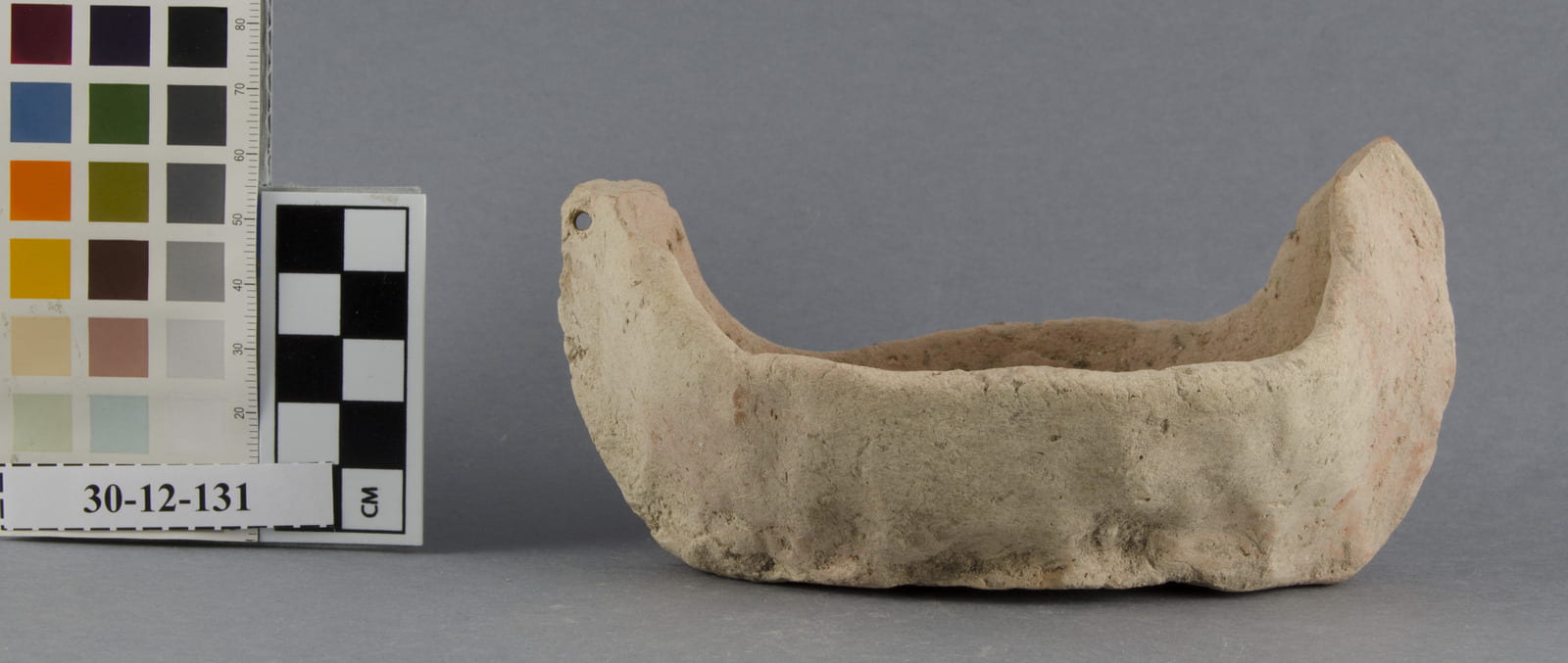
Pottery of Various Periods
Occupation at Tell al-Hiba spans millennia. Ceramics of the Ubaid period from secondary contexts indicate that settlement existed at the site at least by the fifth millennium BCE. It continued to be inhabited during the Uruk, Jemdet Nasr, and Early Dynastic periods. The settled area reached a maximum extent of approximately 600 ha during the second half of the Early Dynsatic period (ca. 2600-2300 BCE). Beginning in the Old Akkadian period, settlement constricted toward the center-west area of the site. By the end of the Old Babylonian period around 1600 BCE, the site was effectively abandoned. After a few centuries, Tell al-Hiba was reoccupied during the Kassite period. An Islamic period settlement also existed along the eastern edge of the site.

Ubaid

Uruk

Jemdat Nasr
Early Dynastic

Akkadian
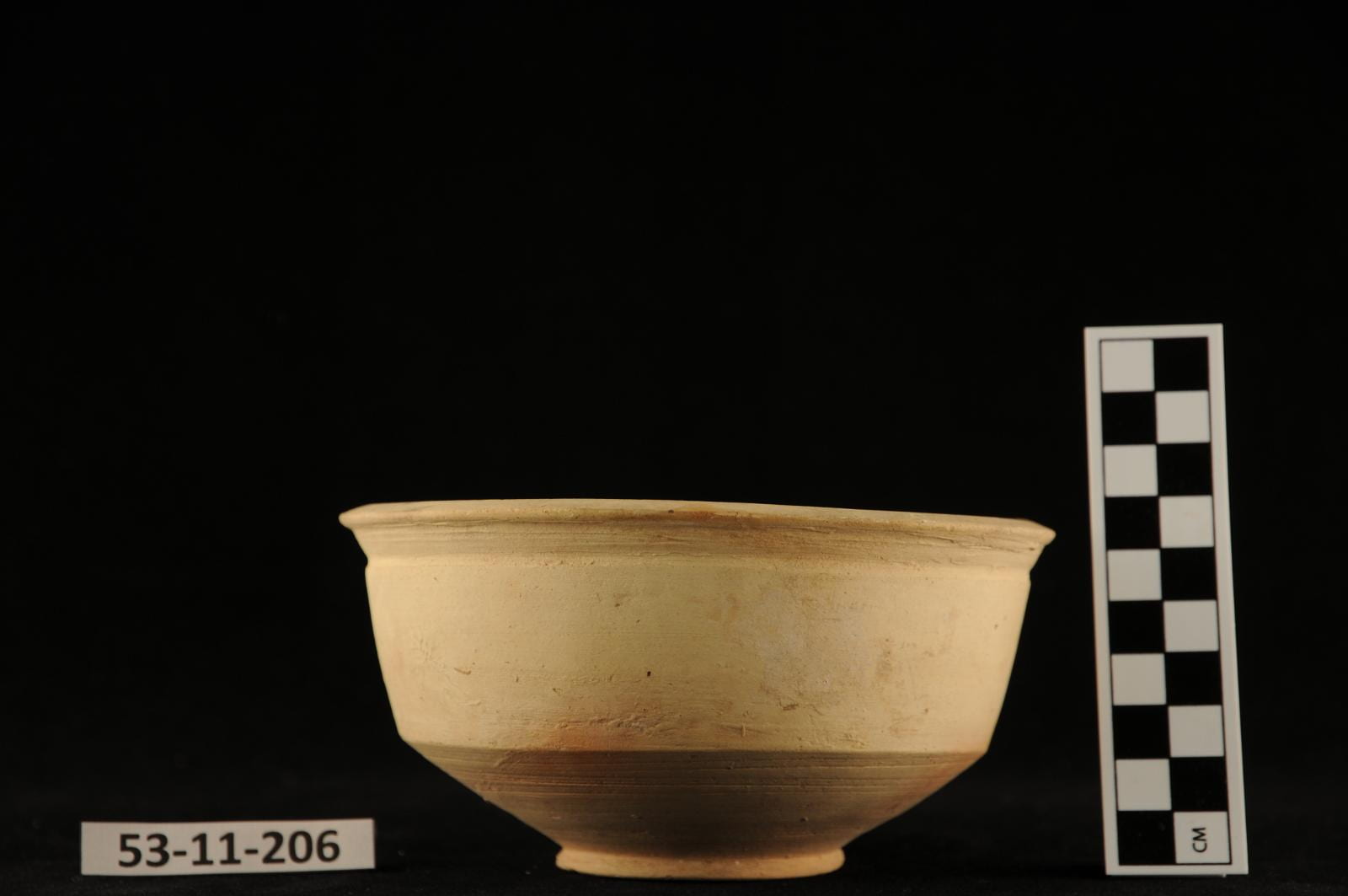
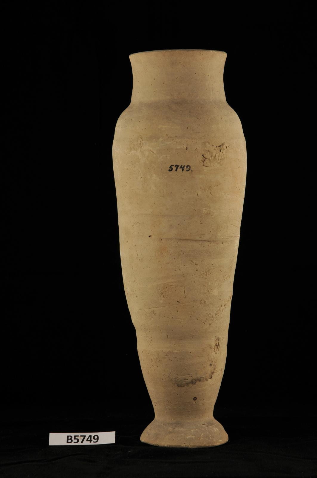
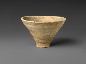
Old Babylonian pottery vessel