Winter 2022
The Winter 2022 issue of Early American Studies: An Interdisciplinary Journal is out now and available on Project MUSE.

The Winter 2022 issue of Early American Studies: An Interdisciplinary Journal is out now and available on Project MUSE.
Early Americans were intrinsically linked to global networks of commerce, information exchange, and migration that extended around the Atlantic world–including Europe, Africa, the Caribbean, and Central and South America–and to the Pacific Rim and Asia. Events or circumstances in one location, or on one continent, shaped and were shaped by those in others. The articles in this resource guide were chosen for keywords related to transatlantic cultures, and African and…
Covering the American Revolution is a core expectation for teachers of early American history. I work at the University of Massachusetts Lowell, a stone’s throw from Lexington and Concord. My career began in the public history field and drawing on local historic sites is my natural inclination in the classroom. And yet my course, “The American Revolution in the World,” strays further from Massachusetts with every passing year. Now that…

Money regularly stood at the center of popular politics in British America. A dearth of currency in England’s colonies led provincial governments to experiment with paper money beginning in the 1690s, and by the middle of the eighteenth century numerous local currencies circulated throughout the Americas. Monetary policy was a regular source of public debate, as colonial newspapers and pamphlets featured arguments over credit relations, the nature of value, and…

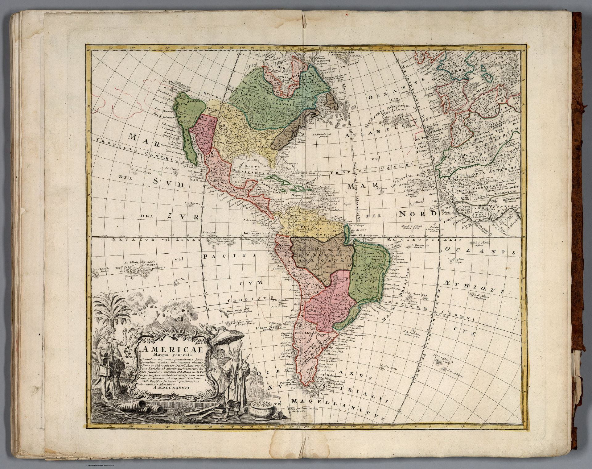
In 1639, two Algonquian sachems (leaders), Shaumpishuh and her uncle Quassaquanch of Kuttawo and Totoket, met with a few English colonists and created a map of the Connecticut shoreline that would become a site of cultural contest. This artifact is a rare example of an Indigenous map from New England–despite an Algonquian tradition of cartography. Although most of the surviving Algonquian-produced maps come from later in the 1600s, this one…